 EpicMaps
Resources
Technical glossary
Plain-language definitions for terms you’ll see in the product and docs.
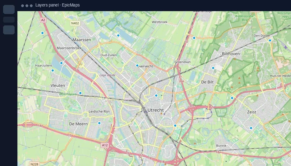
- Basemap
- The background map style beneath your data (streets, satellite, custom Style JSON).
- CRS / Projection
- How the round Earth is drawn flat. EpicMaps stores data in WGS84; the view can be Mercator or globe.
- Feature
- A single geographic object with geometry and properties (a point, line, or polygon row).
- FeatureCollection
- A GeoJSON document containing many features — the usual import unit.
- Layer
- A named group of features (or internal elements/comments) with visibility and lock state.
- MapLibre
- The open-source mapping library that renders EpicMaps styles and vector tiles.
- PostGIS
- PostgreSQL extension that stores and queries real geometries on the server.
- Style JSON
- A MapLibre/Mapbox style document describing sources and layers for a basemap.
- WKT
- Well-Known Text — a text encoding of geometry often used in CSV columns.
- Workspace
- The account container for projects, members, and datasets in EpicMaps.