 EpicMaps
Product · Spatial Analysis
Geometry that stays honest
EpicMaps treats spatial data as first-class: coordinates, projections, and feature attributes live in PostGIS so analysis starts from real geometry — not screenshots.
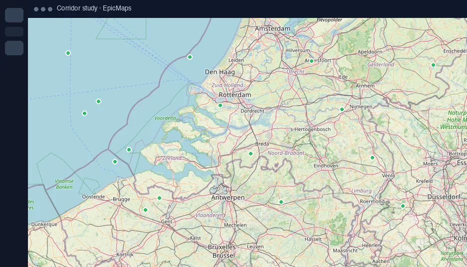
Authoritative storage
Layers sync to the server with batched feature writes. Pan and zoom update the camera without rewriting every geometry row.
Bring data in
- GeoJSON FeatureCollections, Features, or Geometry
- CSV with latitude/longitude or WKT columns
- Remote GeoJSON URLs (CORS permitting)
- Sample hub datasets for demos and training
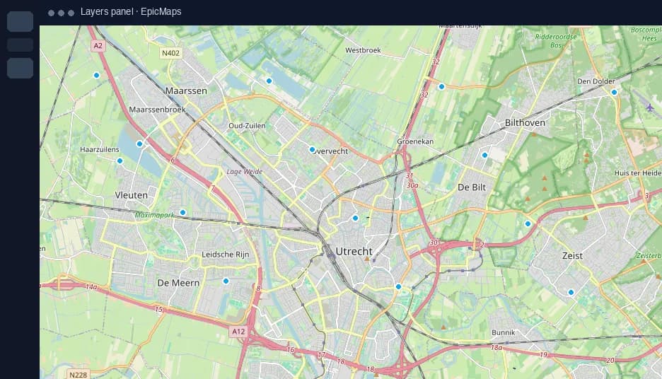
Edit in place
Draw points, lines, polygons, circles, and rectangles; freehand marker and highlighter strokes for markup. Select features to refine attributes and style.
What’s next
Buffer, intersect, and travel-time style tools are on the roadmap. The storage and sync model is already built for heavier analysis passes.