 EpicMaps
GeoJSON editor for real projects
Create and edit GeoJSON in the browser, then keep it as PostGIS-backed layers your teammates can open—not a throwaway paste tool that disappears when the tab closes.
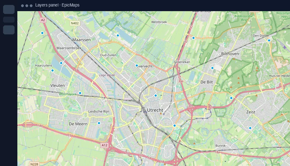
An editor that keeps your work
Disposable GeoJSON editors are great for a quick sketch. EpicMaps is for the next step: named layers, attributes, styles, and a project your land, ops, or planning colleagues can share.
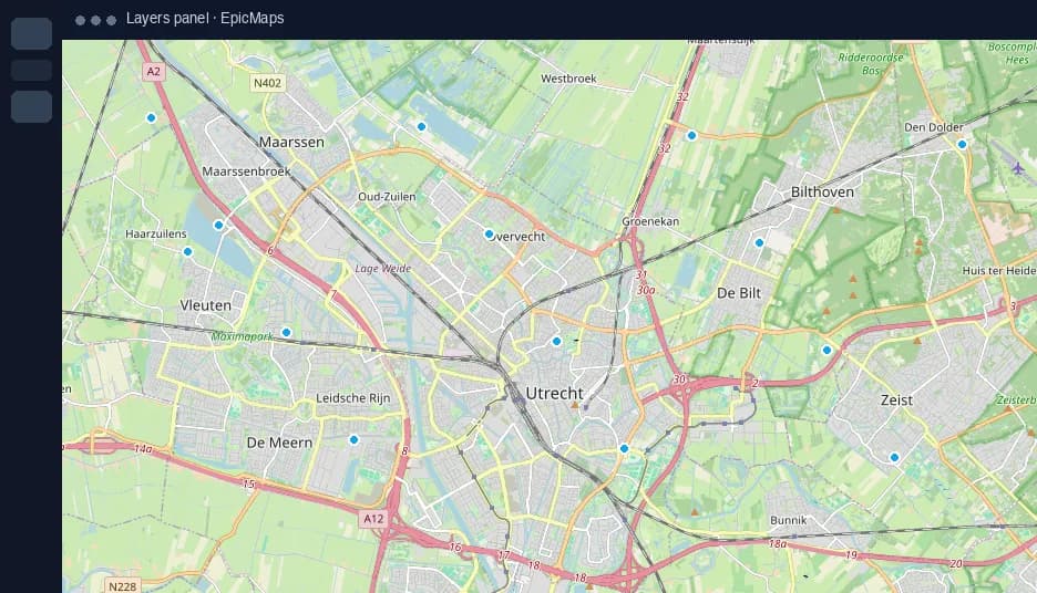
Open or start GeoJSON
- Upload a .geojson or .json FeatureCollection, Feature, or Geometry
- Or draw points, lines, and polygons with the editor tools
- Each import becomes a new vector layer; drawing lands on the active vector layer
Edit geometry and attributes
Select features to refine vertices, restyle fill and stroke, and update properties in the side panel. Comments and map elements stay available for review notes without polluting the data layer.
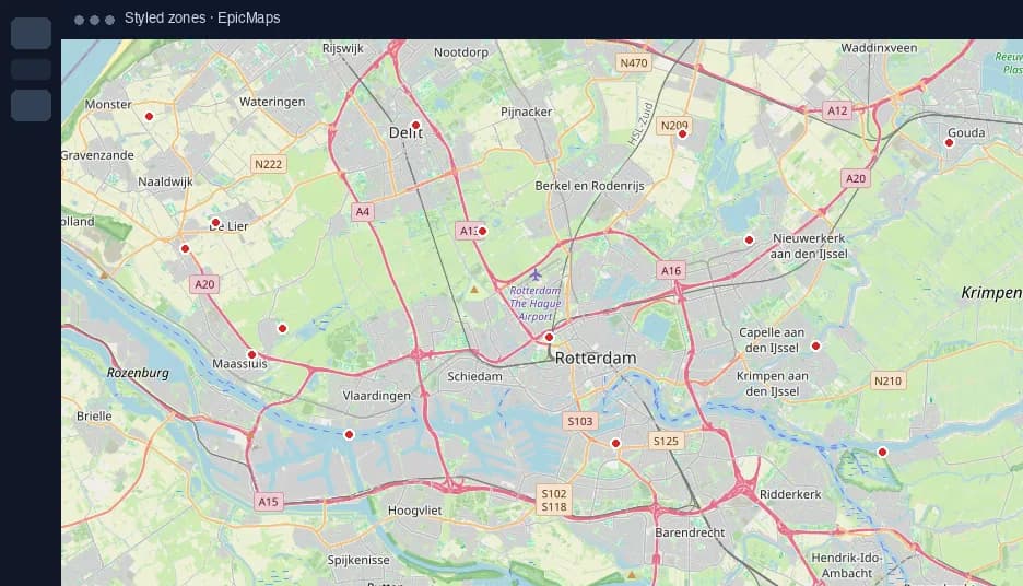
Save to PostGIS and invite the team
- Features sync to Postgres with PostGIS geometry (EPSG:4326), not only the browser tab
- Reopen the same project later—camera, layers, and styles persist
- Create a free workspace to start; upgrade when you need unlimited projects and remote GeoJSON connections
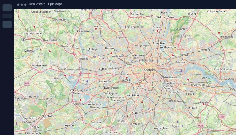
When to use EpicMaps instead of a paste pad
Use a minimal online editor when you only need to download a file once. Use EpicMaps when the GeoJSON becomes a living site shortlist, asset layer, or corridor sketch that multiple people will edit.