 EpicMaps
Solutions
Climate Risk & Sustainability
Put hazard polygons and critical facilities on the same map your resilience and operations teams already open in the browser.
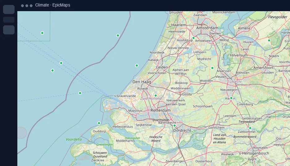
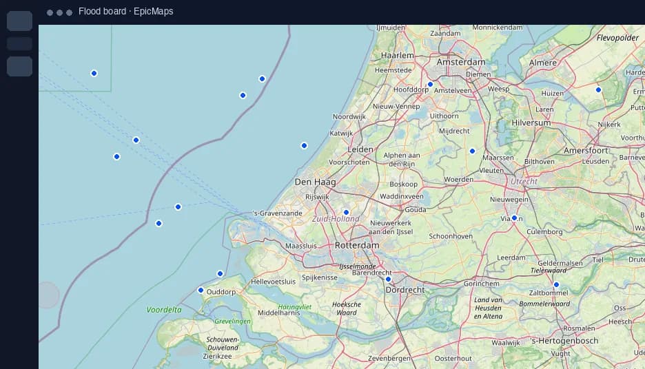
Hazard context boards
- Overlay floodplains, heat, or wildfire polygons
- Mark clinics, depots, and shelters as points
- Style by risk so briefings stay scannable
Tabletop-ready sharing
Invite cross-functional partners into one project instead of exporting static PDFs before every exercise.
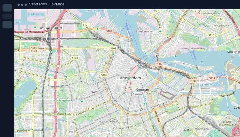
Keep geometry authoritative
PostGIS storage means the polygon you brief on Monday is the same feature someone updates Tuesday — no version drift in email.