 EpicMaps
Solutions
Public Service & Administration
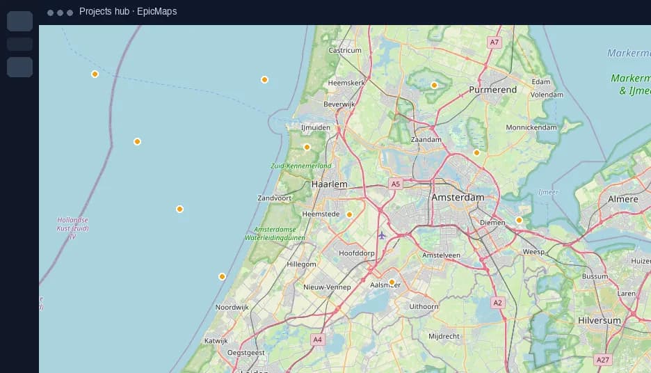
Inventory street assets, sketch service districts, and keep field and office teams on the same live map.
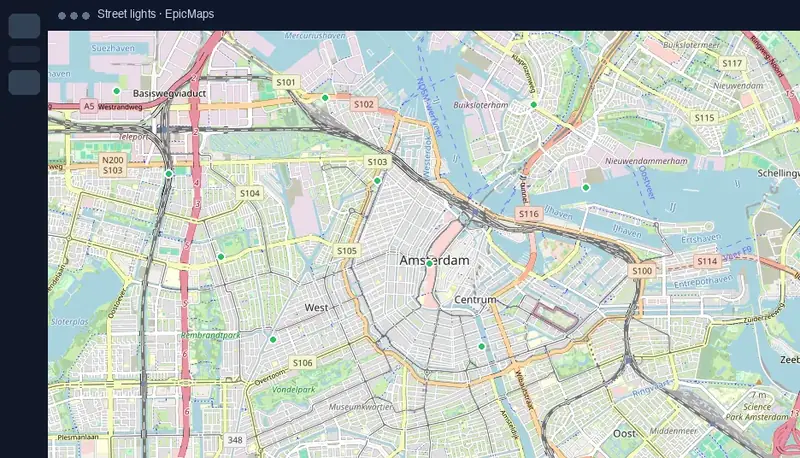
Asset inventories that stay current
- Plot lights, bins, hydrants, or benches as points
- Capture status attributes for maintenance triage
- Zoom to extents when crews open the project
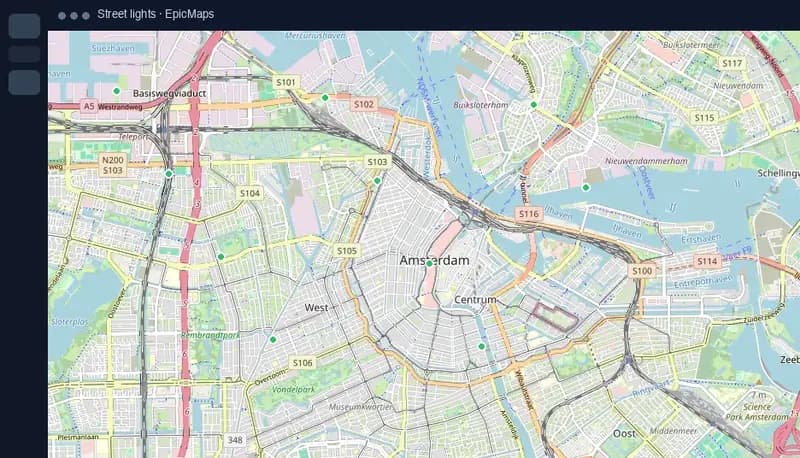
Districts & coverage
Draw service polygons for briefing packs and keep comments on the boundary under discussion.
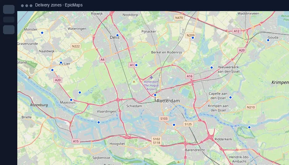
Lower the GIS barrier
Let program staff view and lightly edit without waiting on a desktop GIS specialist for every map refresh.