 EpicMaps
Solutions
Buildings & Real Estate
Give asset managers, brokers, and facilities teams one live portfolio map — status and notes attached to every site.
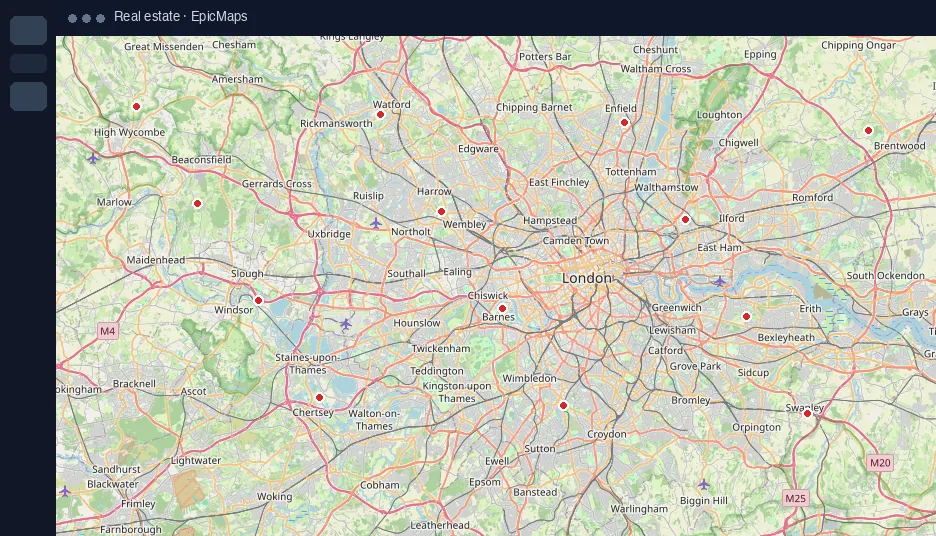
Portfolio on one basemap
- Plot owned and leased sites as styled points
- Filter conversations by status attributes
- Keep the same view when leadership joins the project
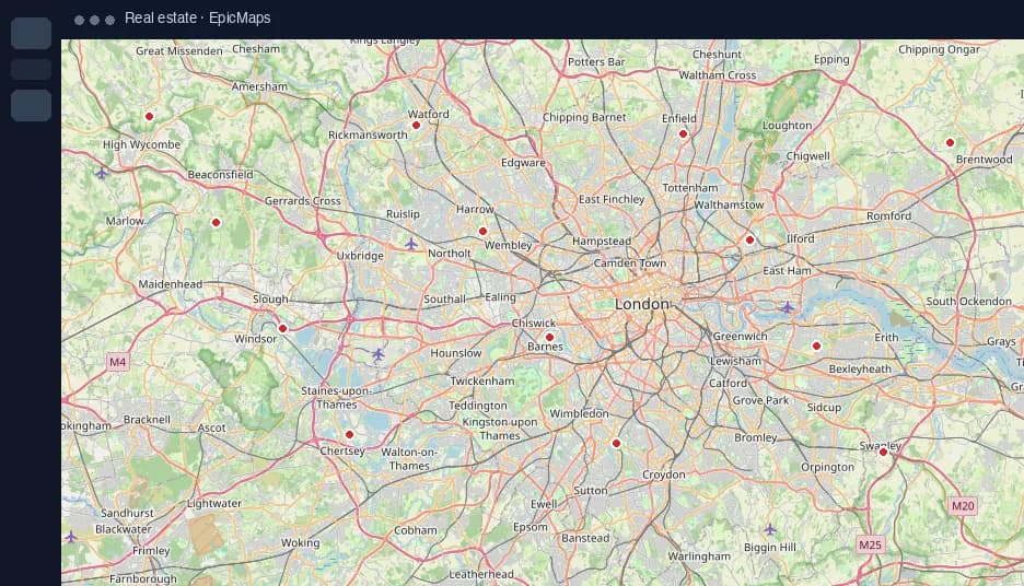
Parcel & zoning sketches
Sketch trade areas or parcel options as polygons, then comment directly on the feature under review.
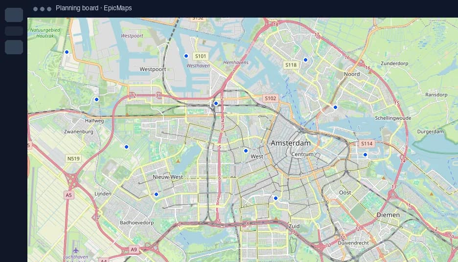
Import what you already have
Drop a CSV of addresses or lat/lng, or pull GeoJSON from an existing system — no desktop GIS required for stakeholders.