 EpicMaps
Solutions
Energy & Infrastructure
Coordinate linear assets, candidate sites, and exclusion areas in a browser GIS your land, engineering, and delivery teams can all open.
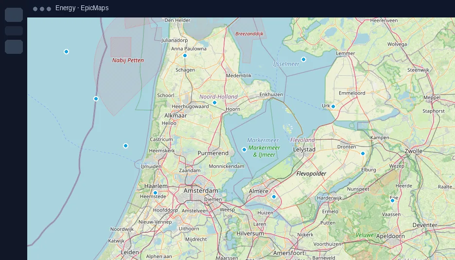
Site & corridor sketches
- Draw alternatives quickly without desktop GIS licenses
- Import survey CSV for candidate points
- Keep versions as separate layers instead of overwriting files
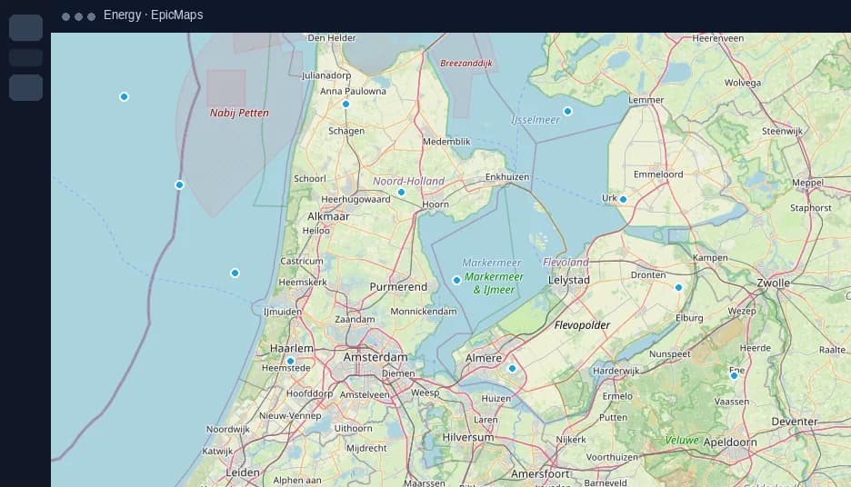
Status that stays attached to place
Use attributes and comments on features so “blocked”, “surveyed”, or “permitted” lives on the geometry — not in a side spreadsheet.
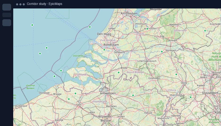
Terrain when it matters
Enable 3D terrain for early conversations about slope and access, then flatten the camera for precise digitizing.