 EpicMaps
Product
A full map editor in the browser
EpicMaps gives GIS-minded teams a shared canvas for geometry, attributes, and presentation — without shipping desktop licenses or zip files of shapefiles.
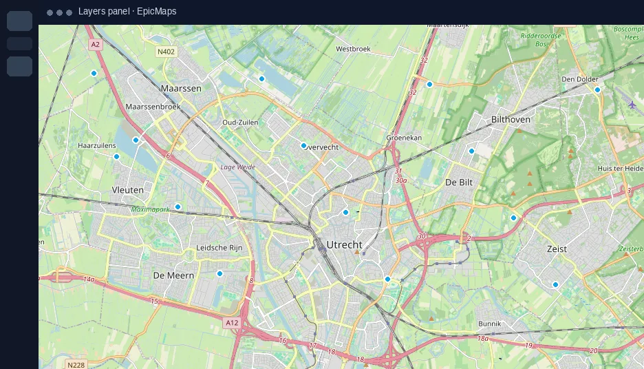
Built for everyday GIS work
Create projects, organize vector layers, draw and edit features, style what matters, and keep everything stored in PostGIS. Comments, elements, and map settings sit alongside the same map your colleagues open.
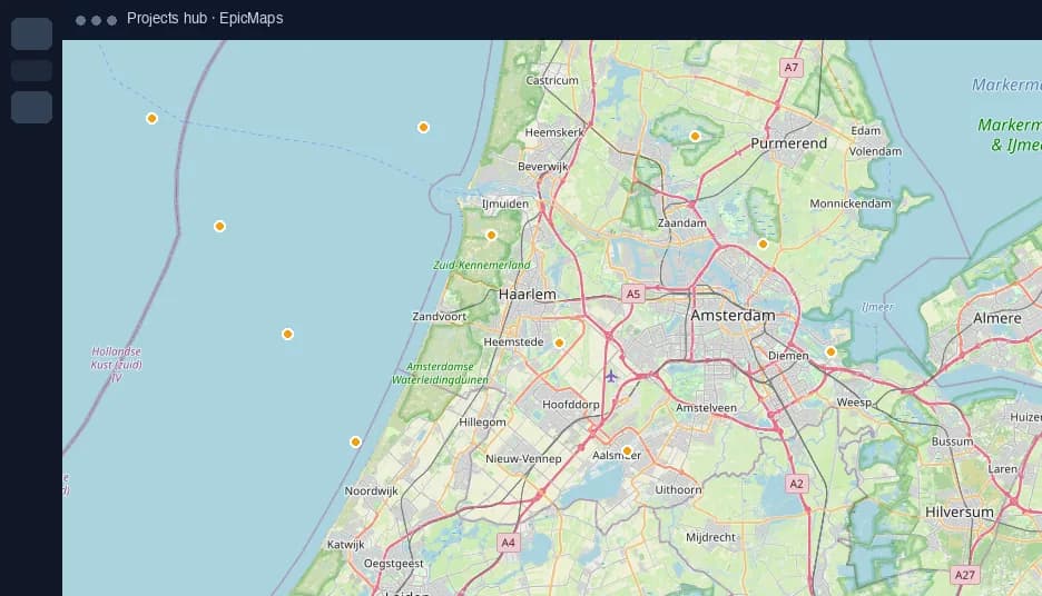
Import without ceremony
- Add data as GeoJSON or CSV (lat/lng or WKT)
- Pull a remote GeoJSON URL into a new layer
- Start from bundled sample datasets in Add data
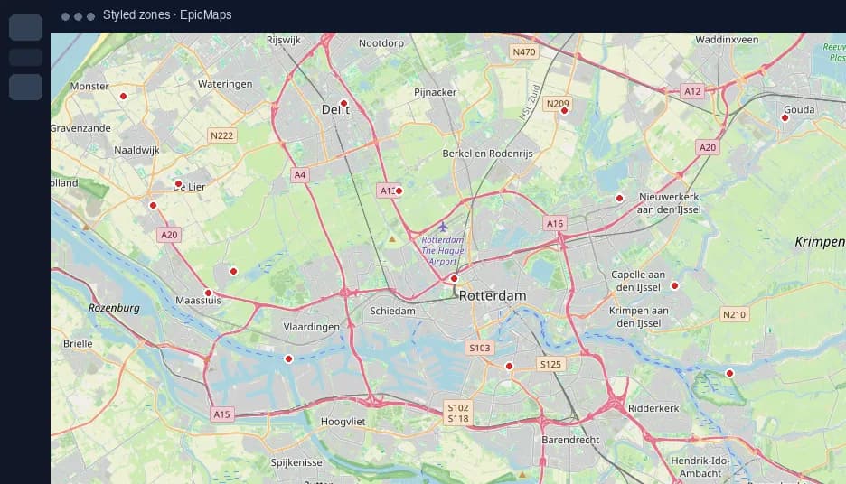
Presentation controls that stick
Switch basemaps, tilt into 3D terrain, or view the globe projection. Map settings persist with the project so the next person sees the same context.
Explore the surface area
- Visualization: deep dive on visualization.
- Spatial Analysis: deep dive on spatial analysis.
- Widgets: deep dive on widgets.
- Builder Mode: deep dive on builder.